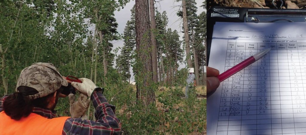
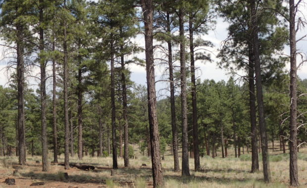
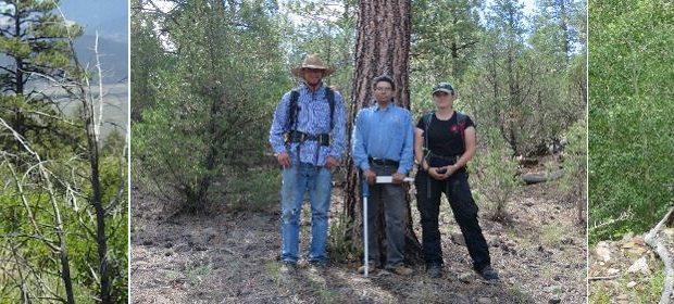
The Ecological Monitoring Program of the New Mexico Forest and Watershed Restoration Institute maintains a professionally managed field crew to collect data on short and long-term ecosystem responses to restoration treatments. This data provides a critical scientific basis for adaptive management decisions and improved forest treatment effectiveness. The program also collects data on, and responds to, partner needs related to monitoring and adaptive management through a variety of initiatives and projects to help build statewide capacity for ecological monitoring and restoration.
- About
- Restoration
- Collaboration
- The Collaborative Conservation Mapping Project
- New Mexico Collaborations
- Mapping
- Monitoring
- Stewardship