News
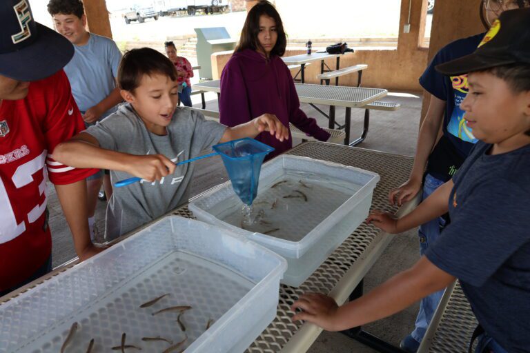
STEM Showdown highlights nature skills for students
The Conservation Science Center’s 10th Annual STEM Showdown brought together 208 students from a dozen schools across San Miguel, Guadalupe, Rio Arriba and Santa Fe counties for hands-on, outdoor learning in…
Map layer compares HPCC burn severity over two years
https://nmfwri.org/wp-content/uploads/2026/10/Short_HPCC-Burn-Scar-Viewer.mp4 Clip shows how the Hermit’s Peak-Calf Canyon (HPCC) Burn Scar viewer works. Live vegetation appears red. Burned features appear black. 2022 and 2024 HPCC Burn Scar Viewer Within…
NM Prescribed Burn Council tours Taos sites
Alejandro Collins, NMFWRI Collaboration Specialist The NM Prescribed Fire Council (NMPFC) hosted its annual in-person meeting in Taos at the end of September. As…
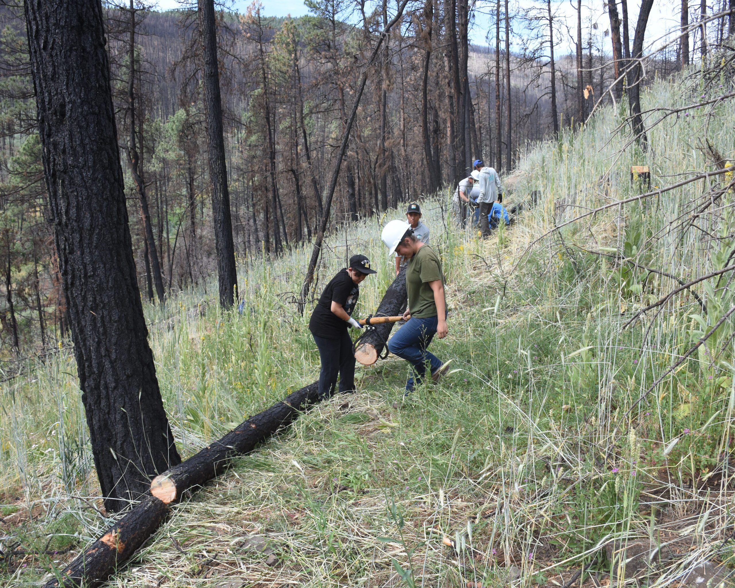
After the Fire: Contour Log Felling to Stabilize Hillslopes
Trees burned in wildfires can be a source of materials for restoring post-fire landscapes. Click on the button below and scroll down to see this guide and other restoration resources.
Fire history in the Four Corners (updated 2025)
Wildfires in the Four Corners have grown larger in the last couple of decades. Dana Heusinkveld, NMFWRI’s GIS Research Specialist, created this timeline of wildfires in the region encompassing New Mexico, Arizona, Colorado, and Utah.
To see fires that are currently burning in New Mexico along with historic fire info in the NM Fire Viewer, click the button below.
Restoration and Education
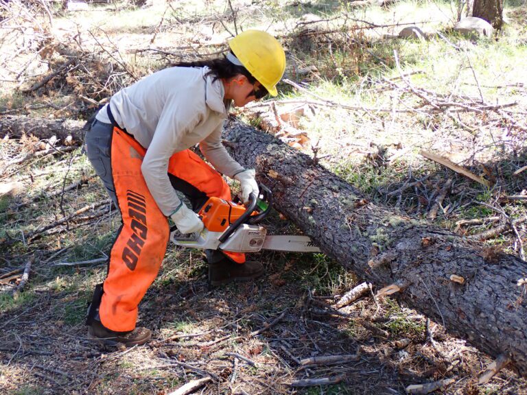
NMFWRI provides technical assistance and practical knowledge in forest and woodland restoration to reduce the threat of high-severity, high-intensity wildfire, restore healthy and sustainable forested ecosystems, and encourage restoration-based economies.
GIS/Mapping
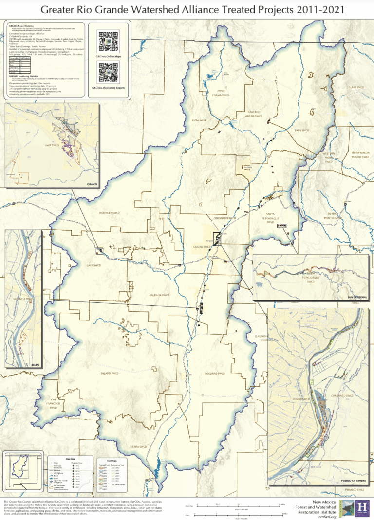
NMFWRI represents the state’s only dedicated capability for supporting the spatial data analysis needs of external stakeholders in the natural resources sector, as well as the GIS/GPS capacity for Highlands University and for most of northern New Mexico.
Monitoring
NMFWRI's Ecological Monitoring Program maintains a professionally managed field crew to collect data on short and long-term ecosystem responses to restoration treatments in forest and riparian ecosystems. The data provide a critical scientific basis for adaptive management decisions and improved forest treatment effectiveness.
Collaboration
NMFWRI supports natural-resource-based collaboration by assisting communities to form collaborative organizations and build the capacity to work together to solve problems and restore natural habitats.